
Guide · flood risk
Flood Zones on Long Island: What Your Zone Means
Long Island has hundreds of miles of shoreline, from the canals of the South Shore to the harbors of the North Shore. Superstorm Sandy showed in 2012 how far coastal flooding can reach. Your FEMA flood zone affects whether your lender requires flood insurance, how much it costs, and how you should prepare.
This guide explains how to look up your zone and what it means. It is general information, not insurance advice.
Updated October 2026 · Water Restoration New York
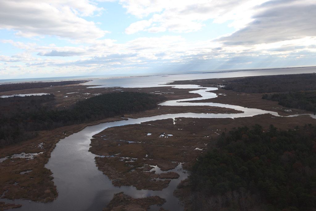
How to look up your flood zone
Use the FEMA Flood Map Service Center
Go to msc.fema.gov and search your address. The map shows the Flood Insurance Rate Map (FIRM) panel for your property and the zone it falls in.
Check for preliminary maps
FEMA periodically updates coastal maps. The map service also shows preliminary or pending maps that may change your zone in the future.
Ask your insurance agent
An agent can confirm the zone used for rating and whether you need an elevation certificate.
Ask your town or village
Building departments in Long Island’s towns and villages act as local floodplain administrators and can explain local building rules for flood zones.
What the zone letters mean
| Zone | What it means | Where on Long Island |
|---|---|---|
| VE | Coastal high-hazard area with wave action of 3 feet or more during a 1%-annual-chance flood | Oceanfront and some bayfront areas, barrier islands such as Long Beach and Fire Island |
| AE | 1%-annual-chance flood area with a set Base Flood Elevation | Canal and bayfront neighborhoods across the South Shore, low harbor areas on the North Shore |
| AO / A | Shallow flooding or 1% areas without a detailed elevation | Some inland low spots and stream corridors |
| X (shaded) | 0.2%-annual-chance (500-year) flood area, moderate risk | Bands just inland of the AE zones |
| X (unshaded) | Minimal mapped flood risk | Most inland areas |
Zones V and A together are the Special Flood Hazard Area (SFHA). A “1%-annual-chance” flood is often called the 100-year flood, but over a 30-year mortgage that adds up to roughly a one-in-four chance of at least one such flood.
Some maps also show a Limit of Moderate Wave Action (LiMWA) line inside the AE zone. Areas seaward of it can see damaging waves of 1.5 to 3 feet and may face stricter building standards.
When flood insurance is required
If your home is in an SFHA (any A or V zone) and you have a mortgage from a federally regulated or insured lender, the lender must require flood insurance. Outside those zones it is optional, but FEMA notes that a meaningful share of flood claims come from properties outside high-risk areas.
Homeowners insurance does not cover flooding from outside: storm surge, tidal flooding or surface water entering the home. Only a flood policy does.
What an NFIP flood policy covers
- Building coverage up to $250,000 for a home, and contents coverage up to $100,000, purchased separately. Private flood insurers can offer higher limits.
- Basements and areas below the lowest elevated floor have limited coverage: furnaces, water heaters, electrical panels, washers and dryers and similar equipment are generally covered, but finished walls, flooring and most contents there are not.
- Waiting period: NFIP policies usually take effect 30 days after purchase. Exceptions include policies bought in connection with a new mortgage. Do not wait for a storm forecast.
- Pricing: since FEMA’s Risk Rating 2.0 took effect in 2021 and 2022, premiums are based on each home’s individual characteristics, such as distance to water, elevation and replacement cost, not only the zone.
Elevation certificates and elevated homes
An elevation certificate, prepared by a licensed surveyor or engineer, records the height of your lowest floor and equipment compared with the Base Flood Elevation. It can lower your premium and is often needed for permits.
Thousands of South Shore homes were raised after Sandy, many with help from the state’s NY Rising program. Elevation protects living space, but the area under the house still floods, and pipes and ductwork there need protection from water and freezing.
Preparing and recovering
- Move valuables, documents and electronics above flood level before storm season.
- Raise or relocate furnaces, water heaters and electrical panels when you replace them.
- Photograph your home and contents now, so you have “before” pictures for a claim.
- After a flood, document everything, keep wet materials away from people and pets, and start drying quickly. See flood and storm damage restoration and the first 24 hours checklist.
Common questions
Related questions
My home is in Zone X. Can it still flood?
Yes. Zone X means the mapped risk is lower, not zero. Heavy rain, blocked storm drains and storms bigger than the mapped flood can flood homes outside the high-risk zones. Flood insurance there is usually much cheaper.
Does a sewer backup count as a flood?
Not usually. Water backing up through drains is generally covered only by a water backup endorsement on your homeowners policy. If backup happens because of a general flood in the area, the flood policy may respond. The cause matters.
How long do I have to file a flood claim?
Report the loss to your flood insurer as soon as possible. NFIP rules generally require a signed proof of loss within 60 days of the flood, unless FEMA extends the deadline after a major event.
Can I dispute my flood zone?
Yes. If you believe your property was mapped incorrectly, a licensed surveyor can help you apply to FEMA for a Letter of Map Amendment (LOMA), which can remove a structure from the high-risk zone if it sits above the Base Flood Elevation.
Need hands-on help?
Call (800) 000-0000 to reach a local restoration team, any time.